

 天天爆殺
天天爆殺  今日66折
今日66折 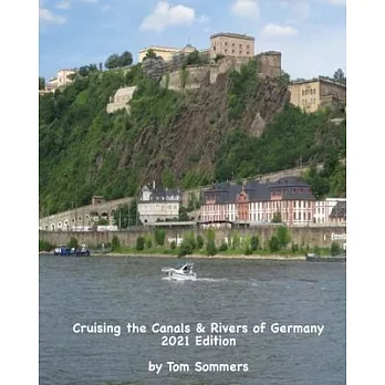


A planning guide to all canals and navigable rivers in Germany. Maps and dimensional tables show all connecting waterways throughout the country. Many of the waterways in Germany are rivers; the guide includes descriptions of all navigable rivers.Special emphasis on the popular cruising areas of northeastern Germany, the Mecklenburg-Brandenburg-Berlin districts and through Berlin.A chapter describes the Main river, Main-Donau Kanal and the Donau (Danube) river in southeastern Germany, Maps, covering the route from the Rhein river at Mainz to the Austrian border at Passau.


 博客來
博客來 博客來
博客來 博客來
博客來 博客來
博客來 博客來
博客來