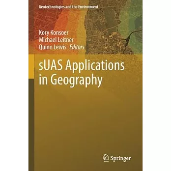
Kory M. Konsoer is an Associate Professor of Geography in the Department of Geography and Anthropology at Louisiana State University (LSU) in Baton Rouge, Louisiana, and a Fellow of the LSU Coastal Studies Institute. He received a M.S. degree in geology at West Virginia University, and a Ph.D. in geography from the Department of Geography and Geographic Information Science at the University of Illinois, Urbana-Champaign. His research interests are primarily focused on process-based fluvial geomorphology, particularly the coevolution of river flows and channel morphology, how vegetation influences rates of sediment transport and bank erosion, river-coastal interactions, and human influences on river systems. Vital to these research topics are the employment and development of new state-of-the-art remote sensing technologies that allow for high spatial and temporal resolution datasets, including sUAS and hydroacoustics. His publications have included works on meander bend dynamics, hydrodynamics at channel confluences, bank erosion, analyses of submarine and Martian channels, and the impacts of climate change and human alterations of the landscape on Native American archeological sites within coastal Louisiana.
Michael Leitner is theFred B. Kniffen Professor of Geography in the Department of Geography and Anthropology at Louisiana State University in Baton Rouge, US. He received a master degree at the Department of Geography and Regional Research, University of Vienna, Austria and a second master and a doctoral degree in Geographic Information Science (GISc) at the Department of Geography, State University of New York at Buffalo, US. He is the recipient of the 2007 Meredith F. Burrill Award from the Association of American Geographers, was appointed editor of Cartography and Geographic Information Science from 2008-14, and recipient of a Fulbright US Scholar Program to the Jagiellonian University in Krakow, Poland from 2017-18. His main research interests are in GISc and its application to spatial crime analysis, medical geography, and geospatial privacy. He has published two co-authored books, two co-edited and one single-edited book, 10 co-edited journal volumes, and 70+ refereed articles and book chapters. He has successfully received more than US $6 million in grant money in total.
Quinn W. Lewis received his doctoral degree in Geography from the Department of Geography and Geographic Information Science at the University of Illinois in Urbana, Illinois, USA. He then joined Indiana University as a post-doctoral researcher, working in the Department of Earth and Atmospheric Sciences and supported by the Environmental Resilience Institute. He is currently an assistant professor at the University of Waterloo in Waterloo, Ontario, Canada and is affiliated with the University of Waterloo Water Institute. His research interests are centered on advancement of fluvial geomorphology and hydrology through innovative fieldwork, with a focus on interdisciplinary approaches to improving understanding of complex natural systems. His published works range from studies on river confluence hydrodynamics, to using sUAS to unravel river and hillslope erosion patterns, to using online resources and citizen science in physical geography.


 天天爆殺
天天爆殺  今日66折
今日66折 


 博客來
博客來 博客來
博客來 博客來
博客來 博客來
博客來 博客來
博客來