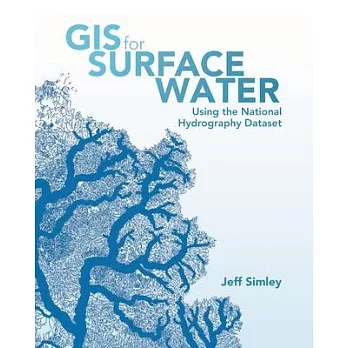
GIS for Surface Water: Using the National Hydrography Dataset enables scientists, managers, and students to understand the complexities of the vital surface waters of the United States. It triggers exploration and analysis by combining the ready-to-use powers of a comprehensive database of the nation’s waters and the ArcGIS(R) platform for geographic data analysis and mapping. This book explains how the water that exists on the landscape has been translated into a computer database, and how data about the water, such as chemistry and fish habitat, is linked to this database. Elevation data is also incorporated to produce watersheds at the micro and macro levels. This information, along with climatic data, leads to the creation of water flow and velocity estimates for every segment in the 7.5-million-mile drainage network in the United States. With the development of this complete water information system, the reader is poised to generate new knowledge of the behavior of surface water systems.
Application of the ArcGIS suite of geographic and network analysis tools makes the science of surface water come to life. GIS for Surface Water vividly demonstrates how the vast capabilities of ArcGIS can be easily applied to the National Hydrography Dataset and companion Watershed Boundary Dataset to reveal the intricate properties of complex water networks. A variety of GIS operations are made simpler through the use of ArcGIS. You will be able to input the National Hydrography Dataset in your GIS and trace the path of water within minutes. With just a little more effort, you will be able to create enlightening flow-volume maps showing how much water flows through any given river system. By following basic principles outlined in the book, you will discover that these methods also apply to the science of surface-water systems for any nation. User stories by experienced water analysts are also included to help buoy your knowledge of GIS for surface water.


 天天爆殺
天天爆殺  今日66折
今日66折 


 博客來
博客來 博客來
博客來 博客來
博客來 博客來
博客來 博客來
博客來